SuriMovil -
The mobile app of the geospatial software product line Suri.
SuriMovil is a Geospatial Information System for smartphones and tablets. This product is the mobile app of the geospatial software family Suri.
SuriMovil in combination with SuriWebGIS can bring powerfull solutions for:
- Field inspections support with systematic data collection from custom data models.
- Field decision making in real time based in contextual geospatial information.
- Planification and monitoring of field operations from central base with task assignment.
- GeoINT applications.
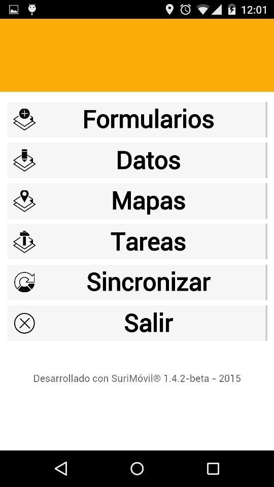
Main features of SuriMovil:
- Secure client-server architecture for full integration with SuriWebGIS
- Support of smartphones and tablets
- Multi-platform (Android supported, iOS in development)
- Map and data access for query, analisys and edition
- GPS and camera access
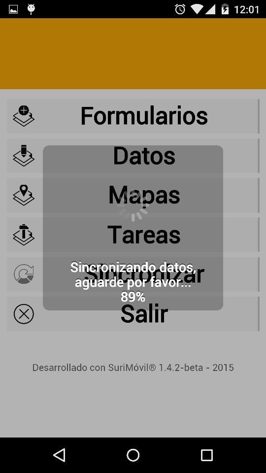
- Off-line work mode supporte with data persistence
- Role based data access control
- Intuitive user interface for touch screen
----------------------------------------
Requirements:
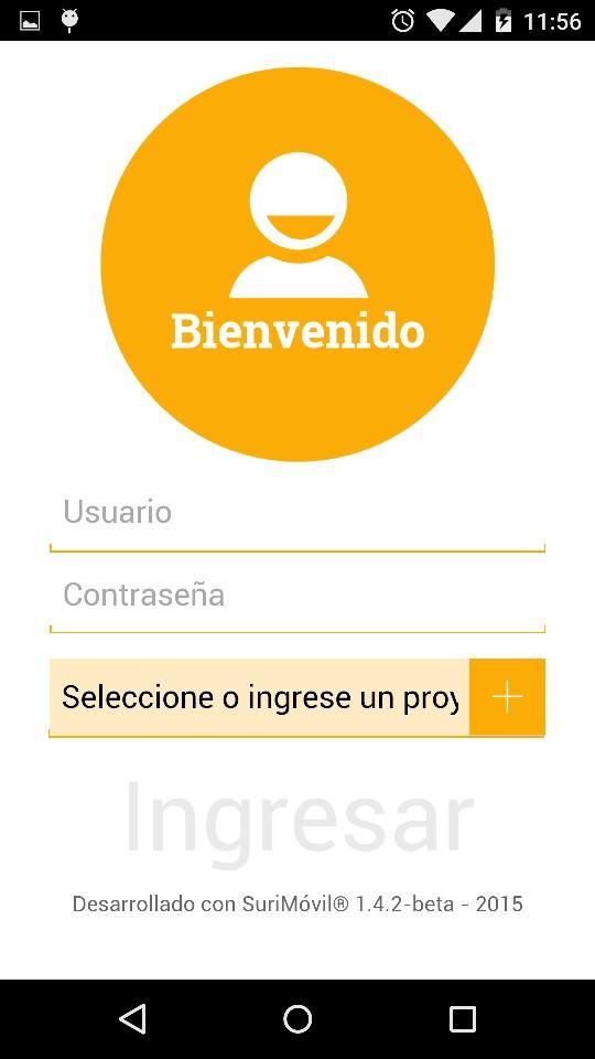
- To access the application you need a SuriWebGIS project account with the SuriMovil module activated.
Please contact your provider.
What's New in the Latest Version 1.6.4.2-alfa
Last updated on Jun 23, 2016 Version 1.6.4-beta- Bugs Fixes