FlightIntel -
Get information about airports and weather for flight planning.
US AIRPORTS ONLY.
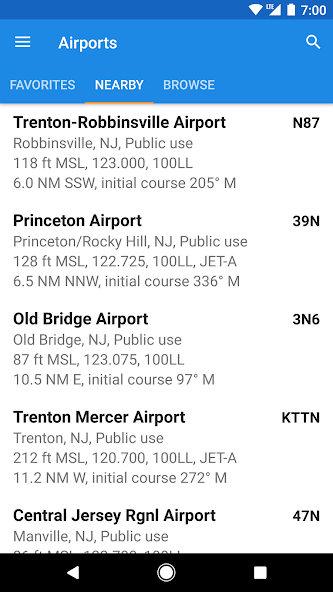
FlightIntel is designed to be a resource to a pilot during all phases of a flight. It provides detailed information about 5500+ US public airports. AF/D data is downloaded to your phone and is available for offline use.
Please leave your ratings and comments to show your support and appreciation. Thank you.
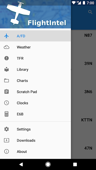
Features:
=========
* Full info on 5,500+ US public use airports
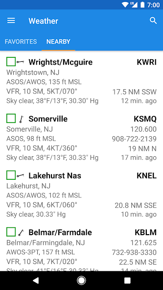
* Detailed Wx for all your flight planning
* Free access to d-TPP including airport diagrams, and d-CS
* Free data updates as per FAA data cycle
* TFRs, Notams and D-ATIS
* E6B
* Scratchpad
* Extensive library of aviation related books & periodicals PDFs
* US AIRPORTS ONLY
* No ads and no personal data collection
PERMISSIONS
===========
* Fine (GPS) Location - To determine current location to show nearby airports/wx stations.
* Full Internet Access - To download data files, weather, NOTAMS, AeroNav PDFs etc.
* Modify/Delete SD Card Contents - To store data files, cache weather data and PDFs.
* View Network State - To check if connected to internet and to determine if connected to WIFI for downloads.
Beta Testing
==========
You can opt-in to test the beta versions when available here:
https://play.google.com/apps/testing/com.nadmm.airports
Follow on Twitter: @FlightIntel
User Groups: https://groups.google.com/forum/?hl=en&fromgroups#!forum/FlightIntel-users
Issue Tracker: https://github.com/nhasan/FlightIntel/issues
Source: https://github.com/nhasan/FlightIntel
*********************************************
IMPORTANT: If you are experiencing FCs, please make sure you are running the latest release and have installed the latest data update.
*********************************************
What's New in the Latest Version 6.30.7
Last updated on Jun 13, 2024 Fix weather screens after AWC changes broke them.Following products are no longer available:
* Static Metar, TAF and PIREP images
* RADAR and satellite images
* Winds/temperature images
I will try to find suitable alternatives in the future.